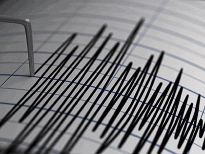
Earthquake News: 4.2 Magnitude Tremors Hit Tajikistan and 4.5 in Myanmar at 10 Km Depth
By Lokmat English Desk | Updated: April 14, 2025 10:46 IST2025-04-14T10:42:42+5:302025-04-14T10:46:20+5:30
An earthquake of magnitude 4.2 on the Richter Scale struck Tajikistan on Monday, a statement by the National Center ...

Earthquake News: 4.2 Magnitude Tremors Hit Tajikistan and 4.5 in Myanmar at 10 Km Depth
An earthquake of magnitude 4.2 on the Richter Scale struck Tajikistan on Monday, a statement by the National Center for Seismology (NCS) said. As per the NCS, the earthquake occurred at a shallow depth of 10km, making it susceptible to aftershocks. Earlier in the day, an earthquake of magnitude 4.5 struck Tajikistan, said the National Centre for Seismology (NCS). According to the details shared by the NCS, the earthquake occurred at a depth of 10 kilometres. The earthquake was recorded at Latitude 38.98 N and Longitude 70.61 E.
In a post on X, NCS wrote, "EQ of M: 4.5, On: 13/04/2025 20:04:27 IST, Lat: 38.98 N, Long: 70.61 E, Depth: 10 Km, Location: Tajikistan." Earlier on Sunday, Tajikistan experienced two earthquakes, with the first measuring 6.1 on the Richter Scale and the second 3.9 on the Richter Scale. Both quakes occurred at a depth of 10 kilometres.
Shallow earthquakes are more dangerous than deeper ones due to their greater energy release closer to the Earth's surface, causing stronger ground shaking and increased damage to structures and casualties, compared to deeper earthquakes, which lose energy as they travel to the surface. Tajikistan is a mountainous country with diverse topography and is especially vulnerable to climate hazards. It is prone to earthquakes, floods, drought, avalanches, landslides and mudslides. The most vulnerable areas are the glacier-dependent river basins supplying hydropower and water resources for irrigation, fragile mountain ecosystems and isolated forests with mountainous and riverine terrain, which makes it prone to landslides and land degradation.
EQ of M: 4.2, On: 14/04/2025 06:14:58 IST, Lat: 38.82 N, Long: 70.45 E, Depth: 10 Km, Location: Tajikistan.
— National Center for Seismology (@NCS_Earthquake) April 14, 2025
For more information Download the BhooKamp App https://t.co/5gCOtjcVGs@DrJitendraSingh@OfficeOfDrJS@Ravi_MoES@Dr_Mishra1966@ndmaindiapic.twitter.com/MU5p2UeFiC
Another earthquake of magnitude 4.5 jolted Myanmar on Monday, a statement by the National Center for Seismology (NCS) said on Monday.
EQ of M: 4.5, On: 14/04/2025 01:32:31 IST, Lat: 19.78 N, Long: 95.49 E, Depth: 10 Km, Location: Myanmar.
— National Center for Seismology (@NCS_Earthquake) April 13, 2025
For more information Download the BhooKamp App https://t.co/5gCOtjdtw0@DrJitendraSingh@OfficeOfDrJS@Ravi_MoES@Dr_Mishra1966@ndmaindiapic.twitter.com/6yJ1hte3xC
As per the NCS, the earthquake occurred at a shallow depth of 10km, making it susceptible to aftershocks.
Open in app